Log in
All resources
Create a design
1,730 Free Artworks of French Language Maps
bibliothèque nationale de france
maps from gallica
guides joanne
carte des environs de paris (1678)
map of europe by guillaume sanson (1674)
lucas janszoon waghenaer
map of l'evesché du mans by jaillot and cordier
le royaume de france distingué by guillaume sanson
1724 maps of france
maps by willem and johannes blaeu
map of l'evesché du mans by jaillot and cordier
bibliothèque nationale de france
maps from gallica
guides joanne
pieter verbiest (ii)
maps from gallica
bibliothèque nationale de france
dheulland map of paris
maps from gallica
guides joanne
bibliothèque nationale de france
1667 sanson map of africa
map of l'evesché du mans by jaillot and cordier
bibliothèque nationale de france
maps from gallica
guides joanne
map of l'evesché du mans by jaillot and cordier
bibliothèque nationale de france
bibliothèque nationale de france
cartouches by sanson family
maps from gallica
guides joanne
maps from gallica
guides joanne
maps from gallica
guides joanne
maps of alsace by guillaume sanson
1660s maps of baden-württemberg
1760 maps of asia
baroque painting
old maps of le tréport
maps from gallica
old maps of plymouth and devonport
16th-century maps of england
16th-century maps of the western mediterranean
lucas janszoon waghenaer
1660s maps of rhineland-palatinate
maps of vangiones by sanson
map of the circle of upper saxony by sanson
bibliothèque nationale de france
le royaume de france distingué by guillaume sanson
1724 maps of france
nouvelle géographie universelle
1887 maps of africa
le royaume de france distingué by guillaume sanson
1724 maps of france
maps of île-de-france by françois de la guillotière
atlas minor gerardi mercatoris (1614, maps)
maps of emden by braun & hogenberg
bibliothèque nationale de france
maps from gallica
guides joanne
1667 map of madagascar by guillaume sanson
bibliothèque nationale de france
map of the circle of franconia by sanson
1680s maps of bavaria
le royaume de france distingué by guillaume sanson
1724 maps of france
maps from gallica
guides joanne
map of modern syria by philippe de la rué
1650s maps of palestine
17th-century maps of nord (department)
maps of artois
maps of county armagh
1760s maps of ireland
maps from gallica
guides joanne
map of europe by guillaume sanson (1674)
bibliothèque nationale de france
maps from gallica
guides joanne
bibliothèque nationale de france
guillaume sanson
mappe-monde geo-hydrographique (sanson and jaillot, 1674)
bibliothèque nationale de france
map of the circle of lower saxony by sanson
bibliothèque nationale de france
carte de france instructive et amusante divisée en quatrevingt six départements - btv1b84949605
bibliothèque nationale de france
map of europe by guillaume sanson (1674)
bibliothèque nationale de france
map of the circle of upper saxony by sanson
bibliothèque nationale de france
maps from gallica
guides joanne
map of europe by guillaume sanson (1674)
bibliothèque nationale de france
maps of paris by braun & hogenberg
bibliothèque nationale de france
map of europe by guillaume sanson (1674)
bibliothèque nationale de france
carte de france instructive et amusante divisée en quatrevingt six départements - btv1b84949605
bibliothèque nationale de france
sanson maps of south america
south america in the 1690s
maps from gallica
guides joanne
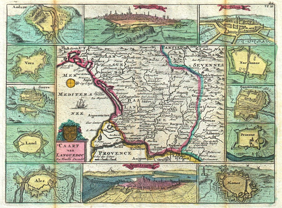
old maps of languedoc
daniel de la feuille
maps of the course of the rhine by guillaume sanson
maps by nicolas sanson
18th-century maps of switzerland
daniel de la feuille
1750s maps of north america
solomon bolton
carte des environs de paris (1678)
bibliothèque nationale de france
carte des environs de paris (1678)
bibliothèque nationale de france
carte particulière des postes de france dediée au roy par son très humble, tres-obéssant, tres-fidele sujet et serviteur - hubert jaillot.... 20 petites lieues de france (1 - 1 800 000 environ) - btv1b8492995r
bibliothèque nationale de france
carte des environs de paris (1678)
bibliothèque nationale de france
carte des environs de paris (1678)
bibliothèque nationale de france
map of the circle of bavaria by sanson
bibliothèque nationale de france
carte des environs de paris (1678)
bibliothèque nationale de france
carte des environs de paris (1678)
bibliothèque nationale de france
carte des environs de paris (1678)
bibliothèque nationale de france
carte des environs de paris (1678)
bibliothèque nationale de france
carte particulière des postes de france dediée au roy par son très humble, tres-obéssant, tres-fidele sujet et serviteur - hubert jaillot.... 20 petites lieues de france (1 - 1 800 000 environ) - btv1b8492995r
bibliothèque nationale de france
amérique méridionale (1748, d'anville)
rococo
18th-century maps of istanbul
maps from gallica
1660s maps of france
maps of lyonnais
maps of grenoble by braun & hogenberg
maps of romans by braun & hogenberg
maps of amsterdam by braun & hogenberg
bibliothèque nationale de france
maps of london by braun & hogenberg
bibliothèque nationale de france
maps of nevers by braun & hogenberg
maps of autun by braun & hogenberg
maps of brielle by braun & hogenberg
brielle in the 16th century
maps of groningen by braun & hogenberg
bibliothèque nationale de france
cartouche (cartography)
jean-claude dezauche
19th-century maps of the malay archipelago
19th-century maps of southeast asia
considérations géographiques et physiques sur les nouvelles découvertes au nord de la grande mer
hokkaido in art
lucas janszoon waghenaer
1580s maps of spain
lucas janszoon waghenaer
maps facing east
island of california on world maps
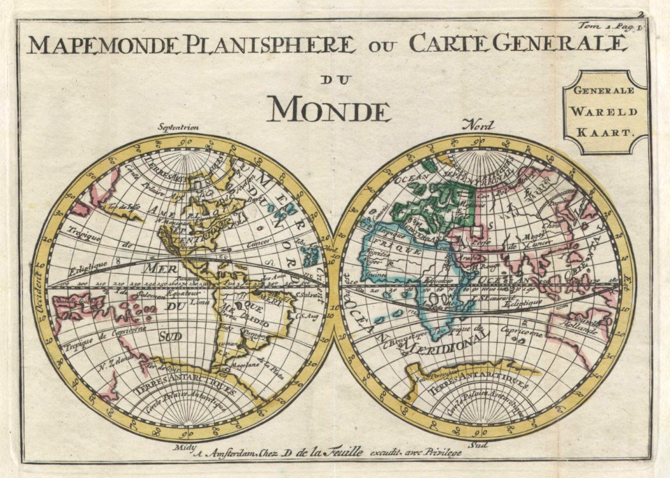
1700s maps of the world
old maps of haarlem
mannerism
maps from gallica
guides joanne
maps of lisbon by braun & hogenberg (1572)
maps of cascais by braun & hogenberg
maps from gallica
guides joanne
map of europe by guillaume sanson (1674)
bibliothèque nationale de france
sanson maps of the circles of germany
bibliothèque nationale de france
map of the circle of bavaria by sanson
bibliothèque nationale de france
19th-century maps of south america
ambroise tardieu
maps of italy by sanson and cordier
bibliothèque nationale de france
sanson maps of the circles of germany
bibliothèque nationale de france
pierre alexander tardieu
delaval (surname)
l'empire d'allemagne divisé en ses dix cercles, et ces cercles en leurs principaux estats, principautés et souverainetés ecclésiastiques, laiques et villes impériales avecq le royaume de boheme et les... - btv1b53202355w
sanson maps of the circles of germany
le comté de la marck, les seigneuries des abbayes de werden, d'essen et la ville impériale de dortmundt - dressé sur les mémoires les plus récents par le sieur sanson... - btv1b532024306
guillaume sanson
1700s maps of the netherlands
maps by nicolas sanson
françois de la pointe
1620s maps of france
maps with azimuthal equidistant projection
french-language maps of antarctica
1680s maps of rhineland-palatinate
maps of vangiones by sanson
maps by willem and johannes blaeu
17th-century maps of xaintonge
john russell (painter)
old maps of the moon
john russell (painter)
old maps of the moon
map of italy by guillaume delisle (1700)
bibliothèque nationale de france
901 - 1000 of 1,730
Next page
/ 18